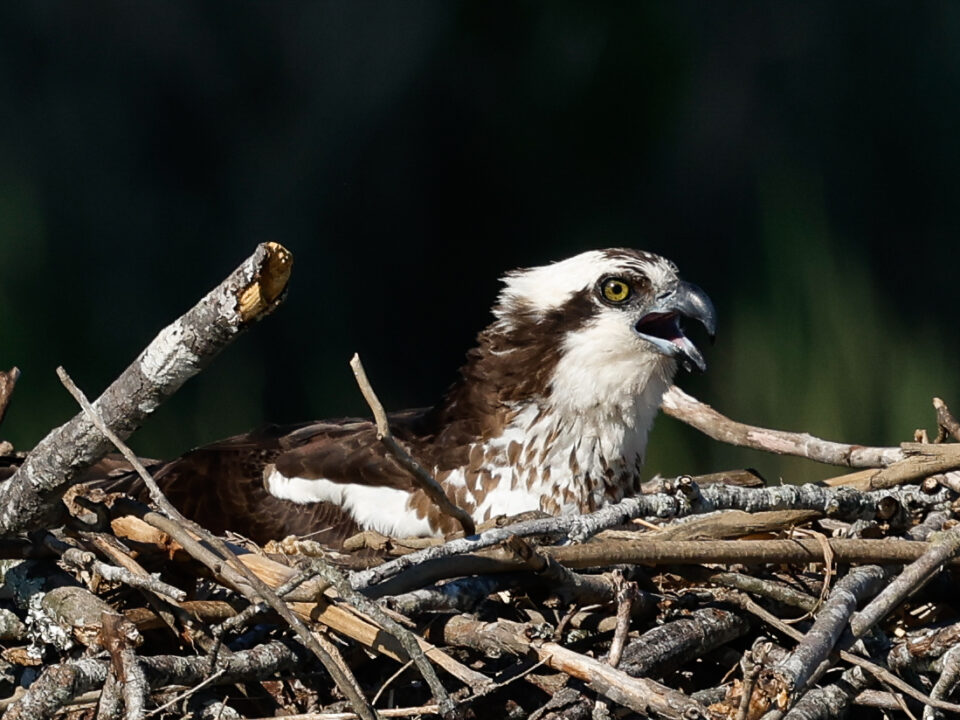
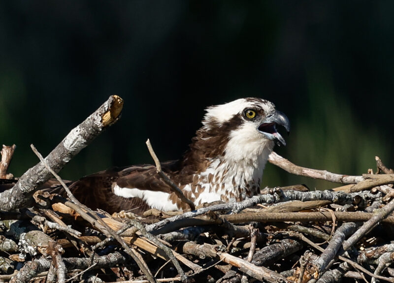
Camellia Returns to Lake Smith – Va Beach 9/18
September 18, 2013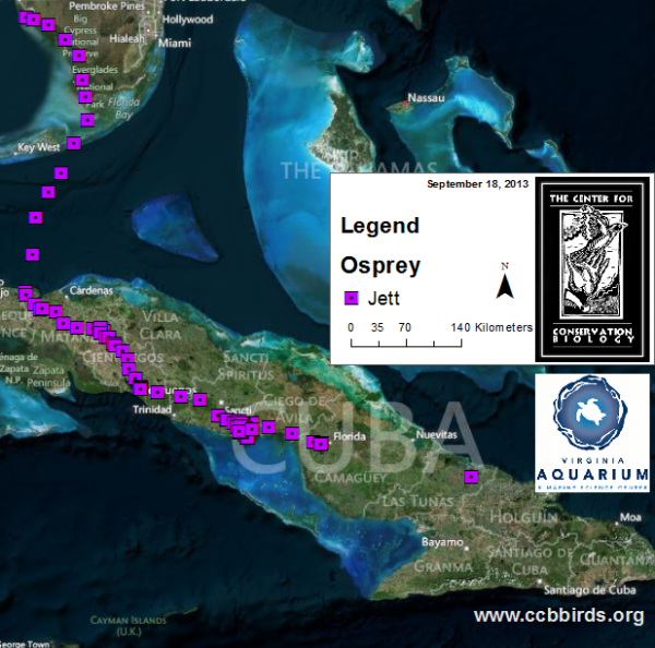
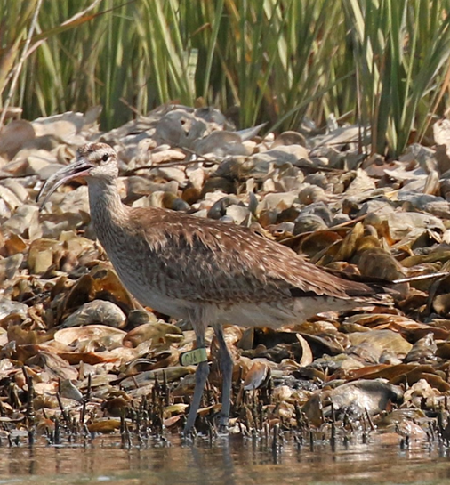
All three Osprey headed South!
September 18, 2013
On 6 June, Bryan Watts from CCB and Barry Truitt from The Nature Conservancy along with pilot Carter Crabbe completed their 6th week of aerial shorebird surveys for the spring of 2013. Documented along the barrier beaches were peak numbers of dunlin (12,900), red knots (6,200), ruddy turnstones (820) and several other species. Together the crew has flown more than 75 aerial surveys of the study area and documented the location and identification of more than 1.5 million shorebirds since 1994. Consistency in approach, coverage, and surveyors has allowed for the evaluation of long-term trends in the number of shorebirds staging within the area, the timing of passage for the various species, the distribution of birds within the study area, and the use of foraging substrates. Over the years, several species have declined dramatically, concentrations have moved throughout the landscape, and substrates used for foraging have fluctuated widely.
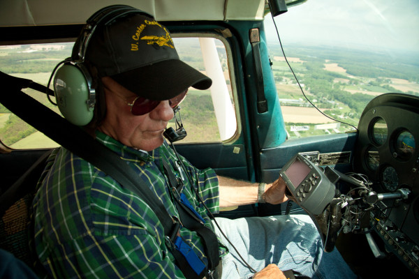
Crop duster and long-time survey pilot Carter Crabbe flying over the Delmarva Peninsula toward the survey’s starting location on Assateague Island. Carter has flown the shorebird survey since its initiation in 1994. Photo by Bryan Watts.
The survey was established in April of 1994 during a time when shorebirds were emerging as a bird community of global conservation concern. Information was needed to document population trends and to identify important staging sites to focus conservation efforts. The survey was designed to cover the active beach zone of all Virginia Barrier islands, one of the most pristine chain of barriers remaining in the Western Hemisphere. A set of 10 transects was also established across the vast mudflats within the lagoon system. Weekly aerial surveys have been flown during the period of primary spring migration from the last week of April through the first week of June. The Cessna 172 is flown below 50 feet along the surf zone to flush birds for identification and estimation.
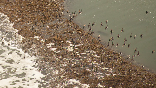
A small flock of dunlin flushed from a patch of intertidal peat on Cedar Island. Peat is a critical foraging substrate along the barrier islands and appears in the surf zone when the island roles back over the marsh during major storm events. Photo by Bryan Watts.
Watts and Truitt initiated the survey to learn more about how shorebird species were using the mid-Atlantic Coast during spring migration and to understand how this unique landscape fits within the broader Atlantic Flyway. Information from the survey has been used widely within the conservation community and has led to many follow-up ground projects focused on moving shorebird conservation forward.
Partners over the 20-year effort have included the U.S. Fish and Wildlife Service, Virginia Department of Game & Inland Fisheries, Virginia Department of Conservation and Recreation, Virginia Department of Environmental Quality, Eastern Shore Foundation, The Nature Conservancy, and The Center for Conservation Biology.
Written by
Bryan Watts | bdwatt@wm.edu | (757) 221-2247
September 18, 2013