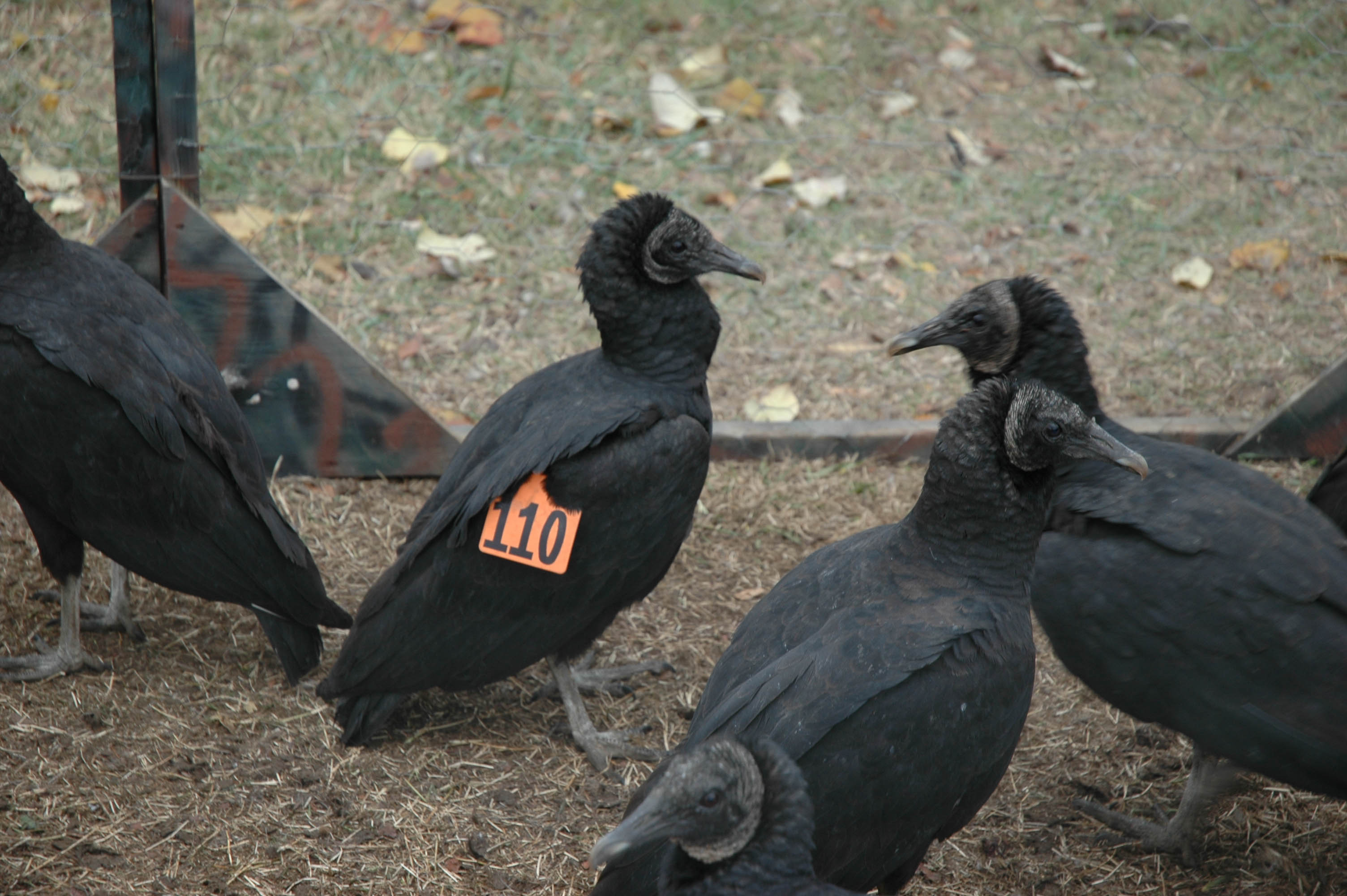
CCB investigates human – vulture conflicts
June 2, 2008
Written by Bryan Watts
June 1, 2008
For the past year, CCB biologists have been trapping eagles on Aberdeen Proving Ground within the upper Chesapeake Bay to learn more about their movement patterns. Captured birds have been fitted with state-of-the-art tracking devices that record GPS locations every hour, store the information in data files, and communicate the data to researchers via satellite. When completed, this will be one of the largest tracking studies of bald eagles ever conducted.
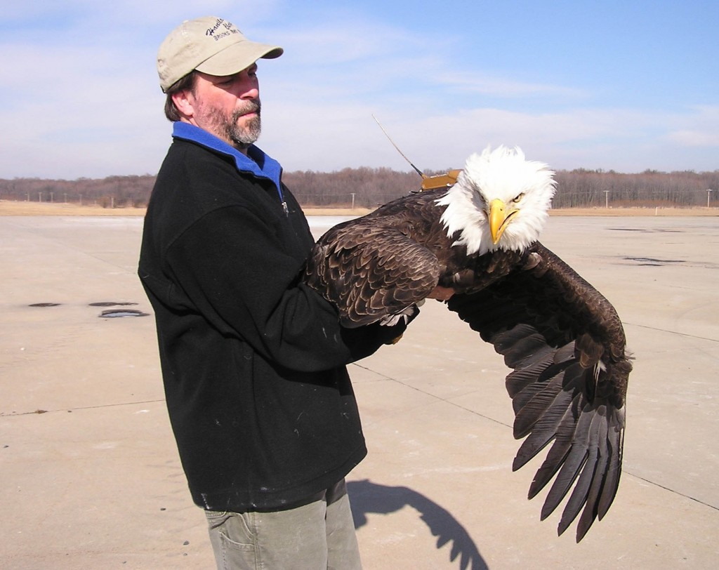
This adult bald eagle held by Bryan Watts is wearing a state-of-the-art satellite transmitter device to track its movement. Photo by Bart Paxton.
The United States Department of Defense supports more pairs of Bald Eagles than any other single holder of land in the Chesapeake Bay Watershed. As the character of private and corporate lands change with development pressures, military lands will become increasingly important to the long-term viability of the Bay’s eagle population. Aberdeen Proving Ground supports more eagles than any single government property along the Atlantic Coast. The land lies within the upper Chesapeake Bay bald eagle concentration area and supports a dense breeding population and migrant eagles from southern and northern populations.
The tracking study is designed to provide information that will help to strike a balance between eagle management and military testing and training that is vital to national security. Understanding the ecological services that Aberdeen Proving Ground provides to both resident and migrant eagles will lead to the placement of the installation into the broader context of eagle management along the Atlantic Coast. Understanding the specifics of how eagles utilize the local landscape will lead to more effective integration of eagles into land management decisions.
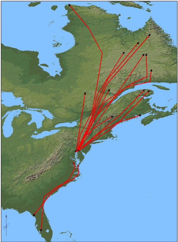
Map of eagle migration paths from point of release. Map by the Center for Conservation Biology.
To date, 50 transmitters have been deployed on eagles from a mix of age classes and populations. Collectively, these units are capable of producing 500-700 GPS locations per day. Birds included in the study are breaking new ground and have already provided new insights into the ecology of eagles using the upper Chesapeake. More transmitters are scheduled to be deployed during the fall of 2008.
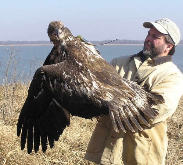
Bryan Watts holds a satellite-tagged second-year juvenile bald eagle before its release. Photo by Libby Mojica.
Written by Bryan Watts
