Virginia bald eagle breeding population exceeds 1,000 pairs
Yellow-crowned night herons adjust to changing climate – continued
June 28, 2016
Grace Still at TRS July 3, 2016
July 4, 2016(Williamsburg, VA)—The Center for Conservation Biology at the College of William and Mary and Virginia Commonwealth University has compiled 2016 survey results for the Virginia bald eagle population. After more than 160 hours of aerial surveys, ground efforts in residential areas of lower Tidewater, and observations from inland volunteers, the survey documented 1,070 occupied breeding territories. This result continues the dramatic year over year recovery documented over the past 40 years. The population had fallen to a low of 20 pairs by 1970. A federal ban on the use of DDT and like compounds in 1972 initiated a recovery by the late 1970s. By 2007, the population had reached 500 pairs for the first time in the modern era. The 2016 survey mapped eagle territories within 57 counties and 12 independent cities. The highest breeding densities continue to be in counties situated around major tributaries of the Chesapeake Bay with highest numbers including 75 pairs in Westmoreland County, 73 pairs in King George County and 71 pairs in Essex County.
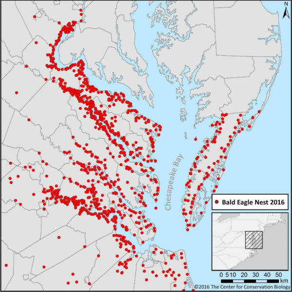
Map of the Virginia bald eagle breeding population in 2016. The population has increased 50 fold since the DDT low. Survey data from The Center for
In addition to the historic breach of the 1,000-pair barrier, this season marks some notable survey anniversaries. 2016 represents the 60th year of the annual eagle survey initiated by Jackson Abbott and volunteers of the Virginia Society of Ornithology. In addition to this incredible milestone, the 2016 survey represents the 40th year of Mitchell Byrd’s tenure, the 25th year of Bryan Watts’ tenure conducting the survey, and the 25th year of Captain Fuzzzo Shermer piloting the survey. Together, this young team has logged more than 3,500 hours of eagle survey flights, more than 24,000 nest checks, and documented the production of more than 15,000 eaglets. It has been one amazing ride.
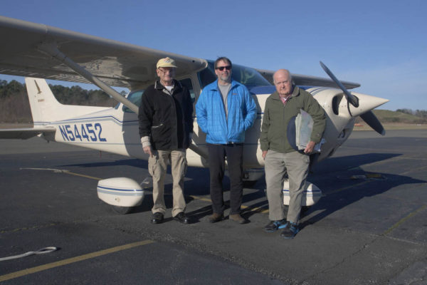
Bald eagle survey crew (The A-Team) including Captain Fuzzzo Shermer (left), Bryan Watts (middle) and Mitchell Byrd (right). The team has been lucky enough to witness and document and incredible recovery of the Virginia breeding population. Photo by Bart Paxton.
The Virginia Bald Eagle Survey is a national treasure. The survey has become one of the most significant serial data sets in the world. More than population information alone, the effort has produced a wealth of ecological information on a population recovering within an increasingly human-dominated landscape. It has become one of the best records of arguably the greatest conservation accomplishment in our nation’s history. Since 2009, results of the survey have been made available on CCB’s website via an interactive mapping portal where users are able to view known nest locations throughout the state. The web application receives more than 30,000 visits per year and has become a critical resource for land planners.
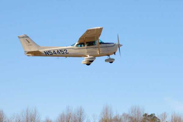
Survey crew in March flying over the shoreline of the James River. Photo by Bart Paxton.
The 2016 survey was sponsored by the Virginia Department of Transportation, the National Park Service, Dominion, the U.S. Department of Defense, the U.S. Fish and Wildlife Service, the U.S. Army Corps of Engineers, and The Center for Conservation Biology. Reese Lukei managed the ground survey in lower Tidewater, Bart Paxton assisted with aerial surveys on the upper Potomac and many observers throughout the state provided observations of nesting activity. We thank all of these organizations and great observers for their commitment to eagle conservation in Virginia.
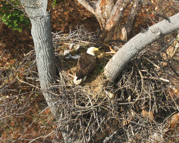
An adult eagle broods two small eaglets in a nest on Fort Belvoir along the upper Potomac River. On the menu this day was American shad and gray squirrel. Photo by Bryan Watts.
KNOW OF A NEST THAT IS NOT ON OUR MAPPING PORTAL? Click Here to report a nest.
Written by Bryan Watts | bdwatt@wm.edu | (757) 221-2247
June 30, 2016
