KE Remains Near Hanover, VA Dec 5 2013
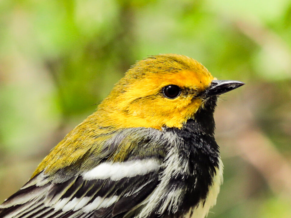
December 9, 2013Camellia in Southern Woods Neighborhood Va Beach 12/12/2013
December 13, 2013
Like a good investment, the cohort of CCB eagles fitted with satellite transmitters between 2007 and 2012 continue to generate impressive dividends. The cohort has now generated well over 1,000,000 GPS locations that are being used to improve management techniques for the species.
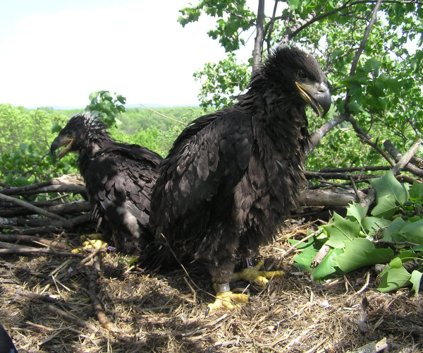
Fairlee as a nestling after being fitted with a satellite transmitter on Aberdeen Proving Ground. Photo by Craig Koppie.
In November, CCB was awarded a grant from the American Eagle Foundation to establish a National Bald Eagle Roost Registry. Although communal roosts are protected by federal law regulations have only rarely been implemented due to the lack of information on their location. Among other sources, the tracking data set will be used to delineate a large number of communal roosts to begin populating the registry.
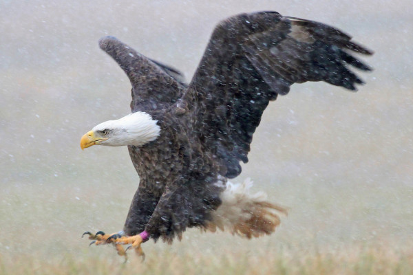
Fairlee, an eagle being tracked by CCB as part of a movement study was photographed during a snow on Aberdeen Proving Ground last Sunday (12/8/13). Photo by Bart Roberts.
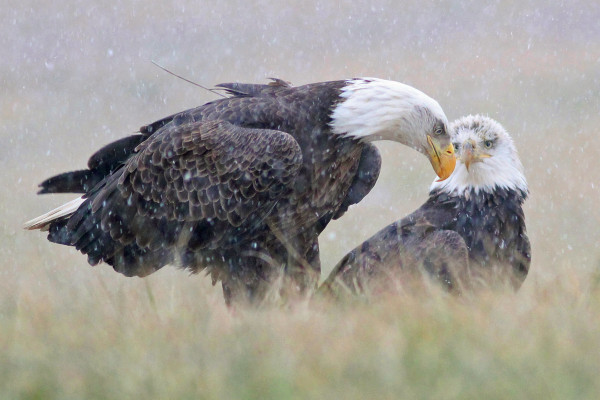
Fairlee with friend on Aberdeen Proving Ground. Photo by Bart Roberts.
Also to begin in the new year, CCB will be working with federal and NGO partners to delineate eagle movement corridors throughout the Northeast that will be used in the siting of wind turbines. One of the most important considerations in reducing the likelihood that a hazard will impact wildlife is location, location, location. For birds, understanding how they move through the region is critical to reducing mortality.
The cohort of eagles being tracked by CCB contains a number of individuals that have made regular movements between the Chesapeake Bay and the north. One such individual named Fairlee on the tracking website has made multiple trips between a summering area on the St. Lawrence Seaway and wintering area on the Chesapeake Bay. Collectively, these birds allow for the delineation of major movement corridors that should be considered when planning commercial wind farms.
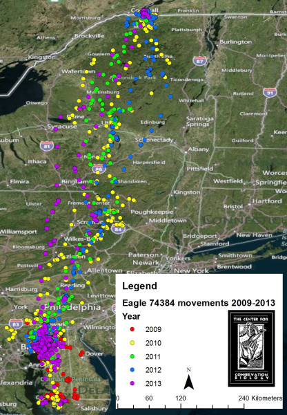
Map of migrations made by Fairlee between winter grounds on the Chesapeake Bay and summer grounds along the St. Lawrence Seaway. Map by CCB.
Written by Bryan Watts | bdwatt@wm.edu | (757) 221-2247
December 12, 2013